Building New Trails: Tobacco Rolling Roads Traverse
By Alice French, Director of Education
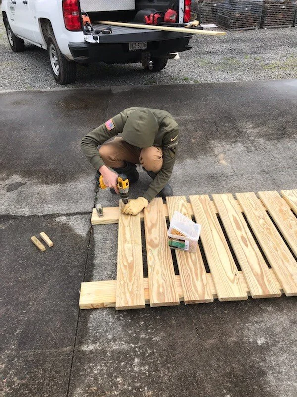
Over the winter and early spring, Eagle Scout Jose Cota of Boy Scout Troop 304 worked to develop Menokin’s Tobacco Rolling Road Traverse. We are so appreciative of his hard work. He defined the trail using fallen limbs to guide the hiker and built in a few steps to assist on uneven terrain. He also built a few scenic rest points with benches to stop and enjoy the view. At the bottom of the trail, he built a movable ramp for the kayak launch, to access the Captain John Smith Chesapeake National Historic Trail. This will make getting in and out over the gnarly pine roots a lot easier for our kayaking friends, especially during Moonlight Paddles!
Before the project began, Jose had to determine how much lumber to buy, and then raise funds for the project by having a car wash. We think this Scout did exemplary work and invite you to come explore the new route. Beginning at the Visitor Center, head towards the Remembrance Structure, and take a left until you see the sign at the head of the trail.
We chose to highlight this part of our landscape because another historic feature lies back in these woods. These are large man-made trenches once used for transporting tobacco from a staging barn at the top of the field, down to a barge in Menokin Bay. In the 18th century, enslaved workers would bundle up large ‘hogshead’ barrels filled with the dried tobacco crop. These barrels would then be rolled to the landing to be loaded onto a boat. Often for efficiency, there would be two roads side by side, so as the hogshead were heading down the road, others goods would be pushed back up the hill to be distributed.
Menokin Bay sits on Cat Point Creek which is a tributary of the Rappahannock River. Just downstream, of the mouth of the creek, used to be a port in Tappahannock called Hobbs Hole where smaller vessels would transfer merchandise to and from ships heading back out to the Atlantic Ocean. Until 1927 when the Downing Bridge was built, people had to travel across by boat or a ferry. Remnants of the Ferryman’s house still stand along the Richmond County banks.
An additional viewing spot of the old rolling roads can be found behind the bench and kiosk, on the road to the kayak launch, near the Tenant Building chimney ruin. Also, if you download the Gaia GPS app, you can look up the trail named “Tobacco Rolling Road Traverse”. Happy trails!
Alice French describes the new trail.


